Stage 2: Theodulpass - St. Jacques
16.5 km
Mountain hiking trail
Mountain hiking trail
-1'527 m / +287 m
Metres in altitude
Metres in altitude
3’300 m
Highest point
Highest point
This stage at a glance
This stage at a glance
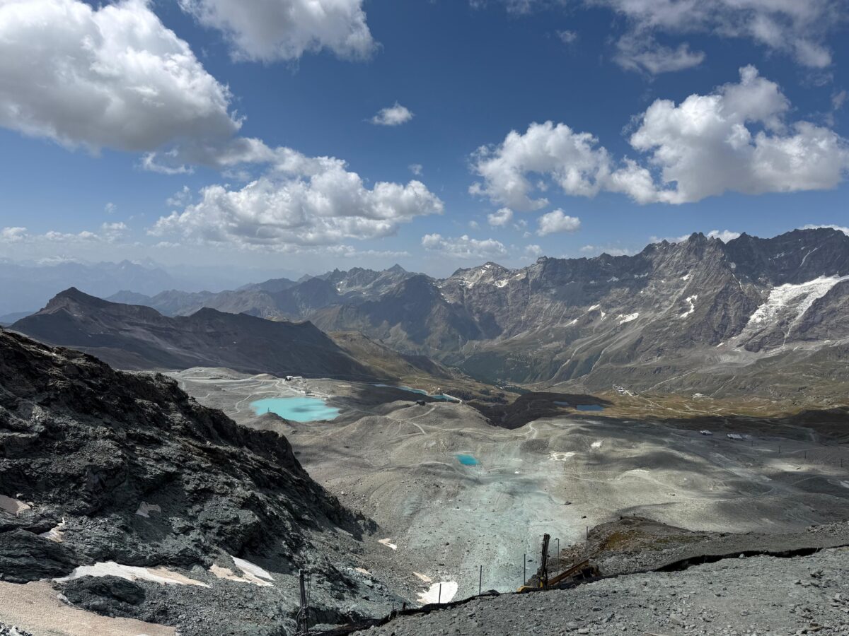
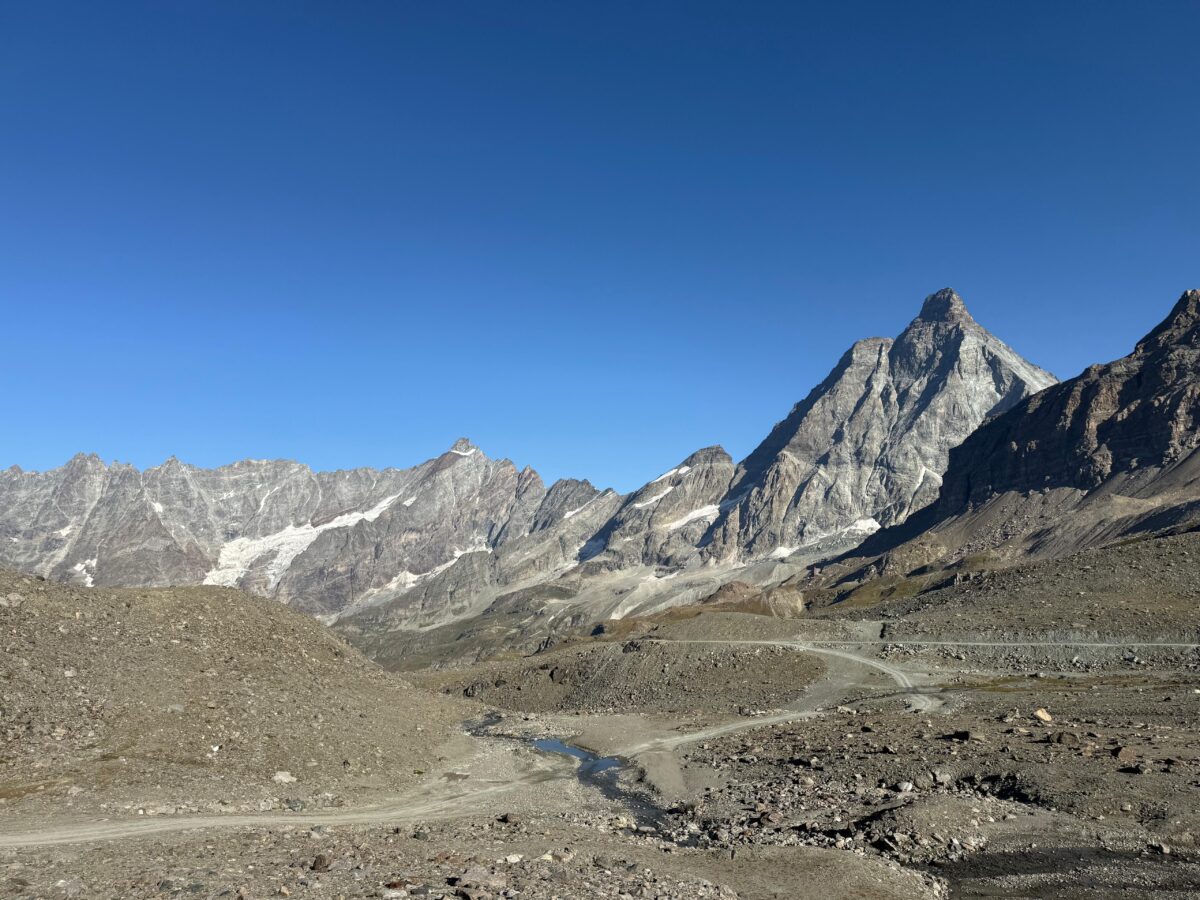
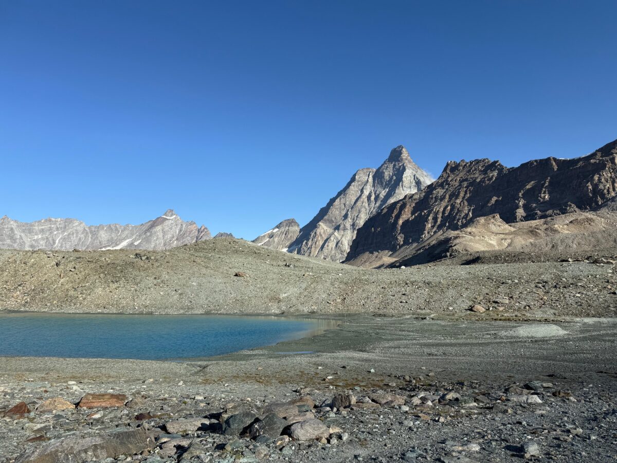
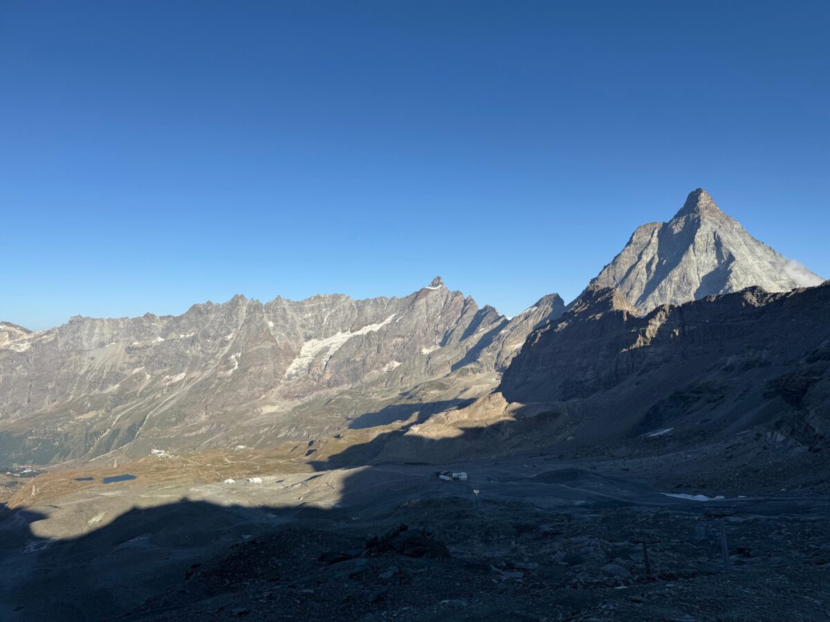
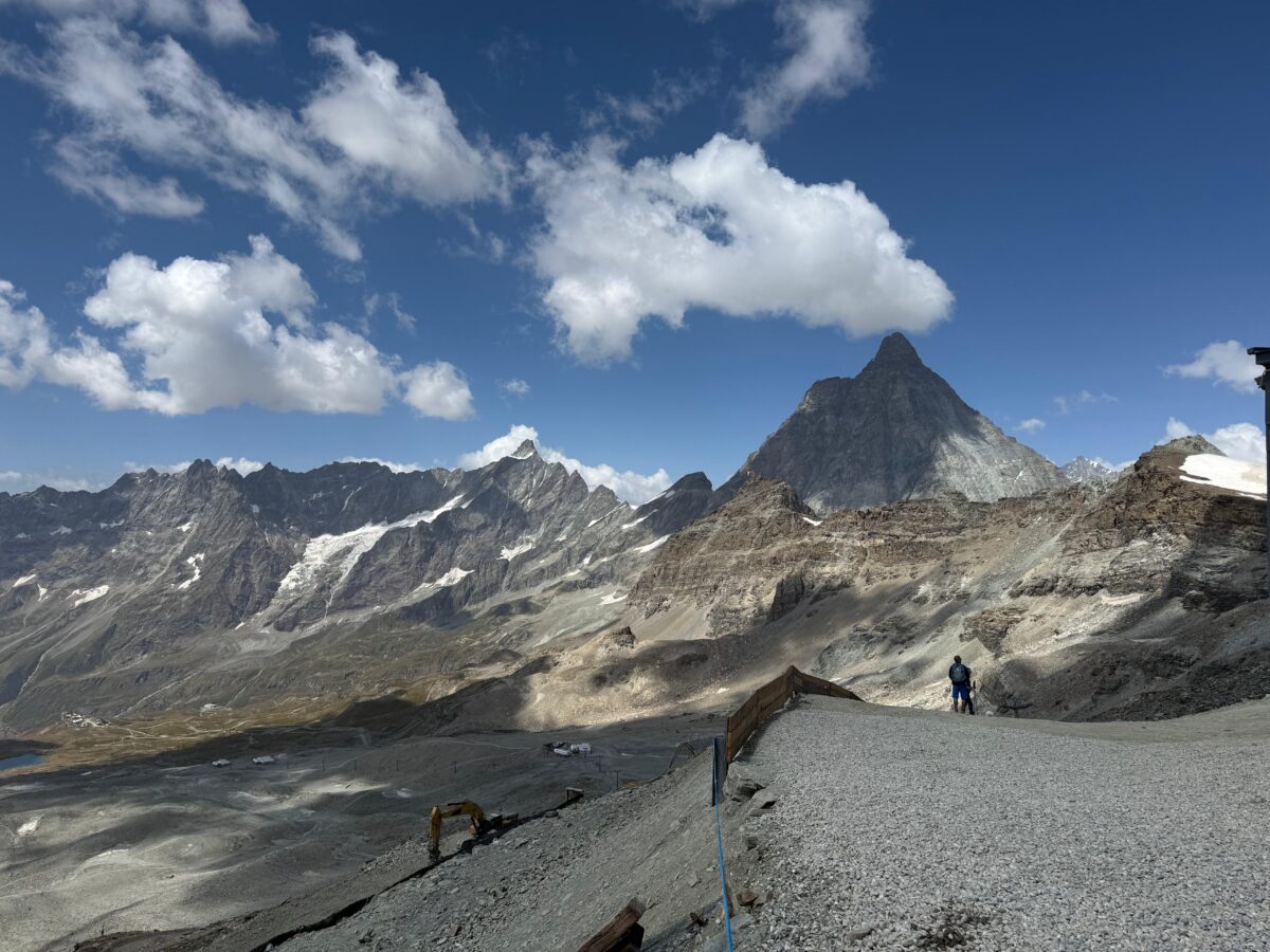
The second stage of the Tour Monte Rosa takes you from the Theodul Pass (3’300 m) down to St. Jacques in the Ayas Valley (1’689 m). In just a few hours, you move from high-alpine glacier scenery into the valley’s green larch forests. There you will find an impressive contrast of ice, rock, and alpine nature.
What you can expect on this stage:
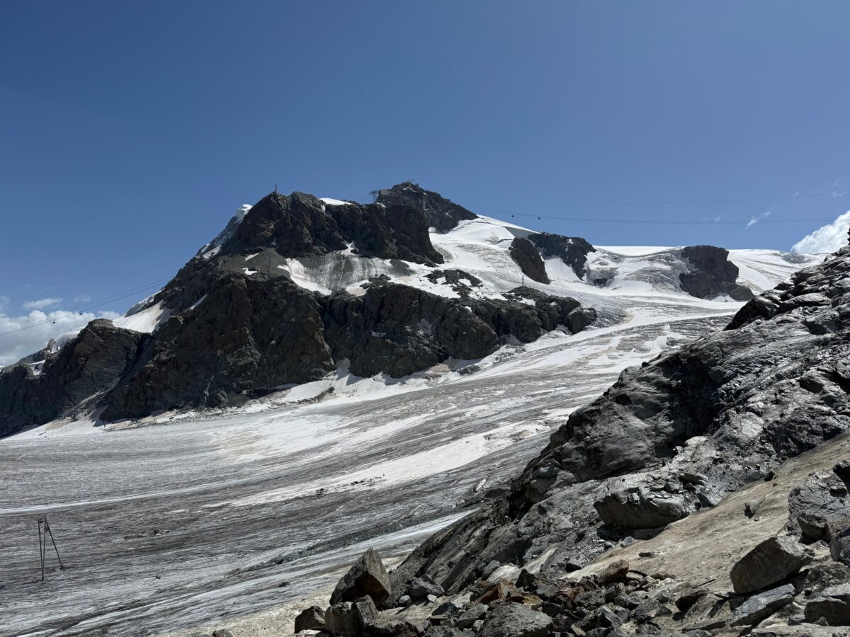
- Start at the Theodul Hut with views of the Matterhorn, Breithorn, and Dent d’Hérens
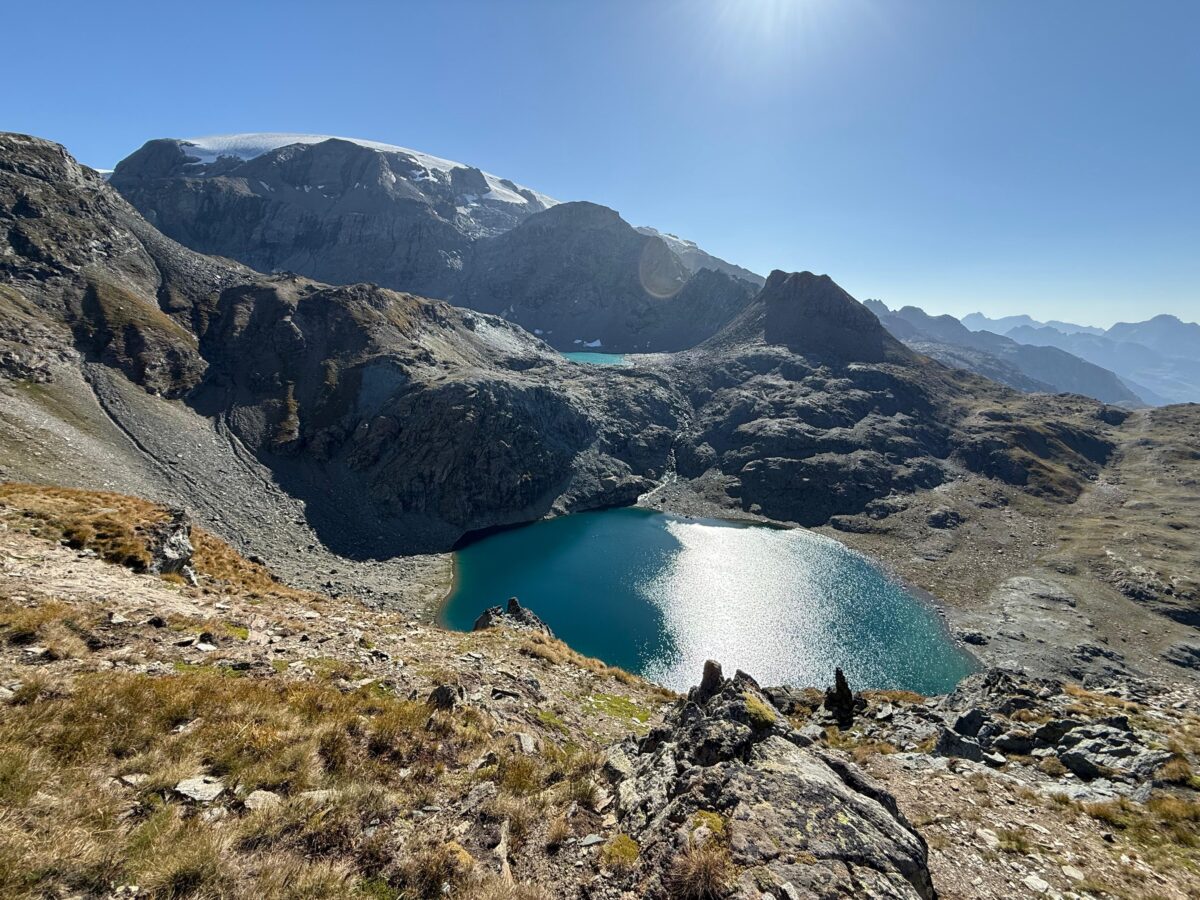
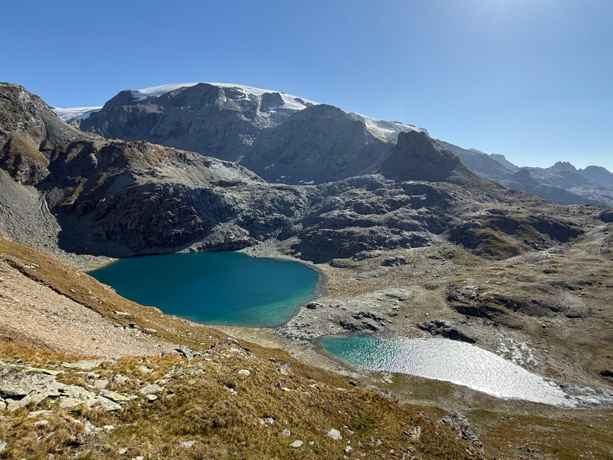
- Descent through glacier terrain with moraines and scree to the Colle Superiore delle Cime Bianche (2’980 m)
- Lakes and pastures of Cime Bianche, with a rest stop option at Rifugio Fiéry (2’072 m)
- Route continues through forests and along mountain streams to the Walser village of St. Jacques
- More than 1’600 metres of descent demand good fitness and take you from the white of the peaks to the valley’s green
Practical information
Practical information
Breuil-Cervinia
Location: Valtournanche
2’006 m a.s.l.
Arrival by Public Transport:
Bus connections to Breuil Cervinia
- From Aosta
- From Turin
- From Milan
Arrival by Car:
- Highway A5 Torino – Aosta
- Exit Saint Vincent – Châtillon
- Continue towards Valtournenche
- Valtournenche – Breuil Cervinia
Accommodation
Accommodation St. Jacques